
Our Expertise

Geophysics
Geology
Insight
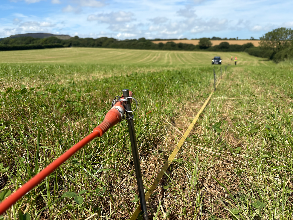
We use a range of geophysical technologies to image what is under the ground, most commonly measuring Earth's magnetic, gravitational, electric and electromagnetic fields.
We combine structrual geologic information and historical mapping to provide the spatial context to make sense of the geophysical data we collect.
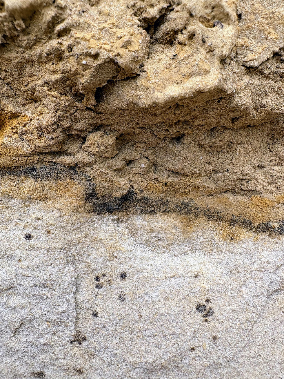
We utilise other sources of information, such as geochemical analyses of rock samples, water samples, and historical data to derive insights that will reduce uncertainty in next stages of exploration.
Innovative Techniques
Geophysical Surveying
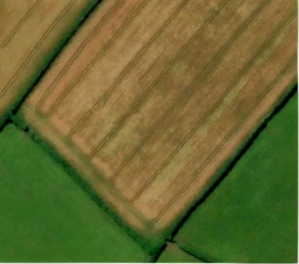

We use a range of geophysical methods to image the subsurface, providing a glimpse into what lies beneath your property. The choice of which method(s) to use depends on what you are looking for and what else is known about the area.
Geophysical surveys leave no trace - we lay out cables, batteries and sensors to make our measurements, then pack it all up and take it away after collecting data.

Let's Discuss Your Land
GEOPHYSICS • MINERAL EXPLORATION • GEOTHERMAL ASSESSMENTS • EXPLORATION TARGETS